Helping Land Managers Make Data-backed Decisions

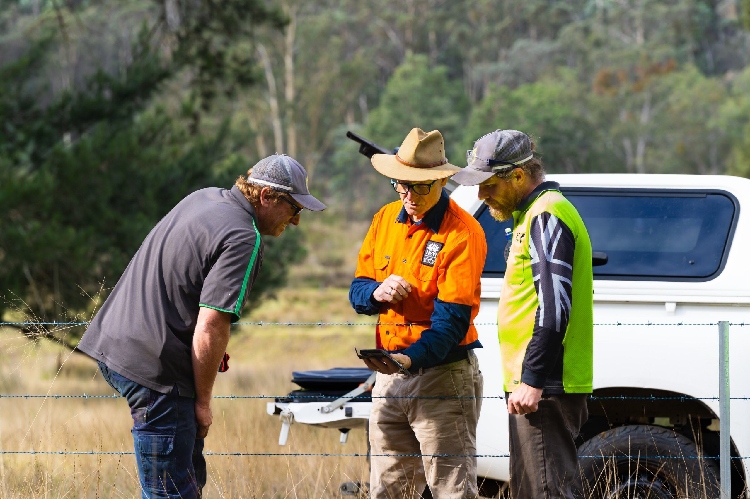
The NSW government has developed a suite of apps to help land managers make better informed, data backed, land management decisions.
Developed by scientists in the Department of Climate Change, Energy the Environment and Water, the apps draw on years of research and development to make the most accurate, detailed information available to land managers across the state.
The apps are easy to use and include functions for zooming into areas of interest and locational searching and can be used anywhere you have a mobile signal.
Each of the apps has a feedback function which allows land managers to provide updates based on their own observations on their properties. These updates are assessed by the team and once verified can be used to update the maps behind the apps.
- Trees Near Me NSW provides maps and information about Plant Community Types anywhere in NSW. It makes it easy for anyone with an interest in native plants from farmers and bushwalkers to backyard green thumbs, bush regeneration groups and ecologists to learn more about native vegetation in New South Wales.
- Credits Near Me NSW is a great starting point for landholders thinking about establishing a Biodiversity Stewardship Agreement under the Biodiversity Offsets Scheme. The app can help landholders identify the types of biodiversity credits they may be able to create and sell, and whether there are people looking to buy these types of credits. The app can also help proponents of developments find areas where the potential supply of credits may help meet their biodiversity offset obligations.
- Soils Near Me NSW is a simple and accurate way for users to find information about the capabilities and limitations of soils and landscapes, the soil types in New South Wales and their acid sulfate soil risk. It is useful for planners, land managers, bush regenerators, teachers, students and citizen scientists, or anyone looking to learn more about the soils near them and how they can shape their management decisions.
- Restore Trees NSW helps users inspire and plan their restoration projects to deliver the best biodiversity outcomes for their property and the surrounding landscape.
The app uses information from the State Vegetation Type Map to help land managers make informed choices about what native plants are best suited to the location of their project.
You can download all the apps from the google play and apple apps stores or access desktop versions at environment.nsw.gov.au.
